3D inventory model of the Brüglinger Ebene
Creation of 3D inventory model for new walkway
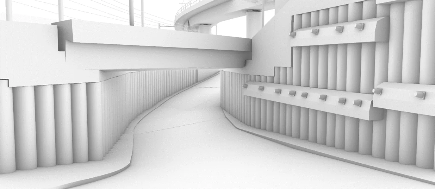
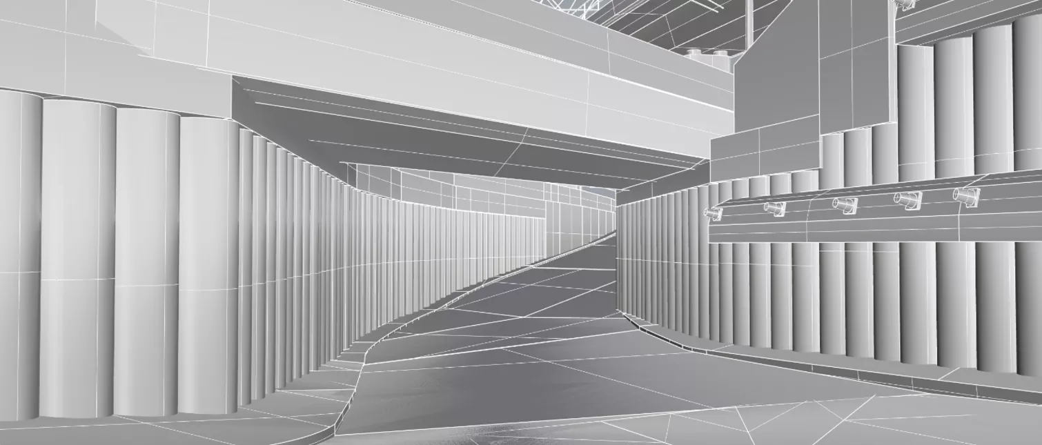
A walkway is to be built between Kunstfreilager in the area of the current BLT stop "Ruchfeld" and Brüglingerebene. At the same time, a new stop for line 10 is to be realised. In addition to the footbridge and the bus stop, the restoration of the historic tree-lined avenue and the upgrading of the Merian Gardens are also to be integrated into the overall concept.
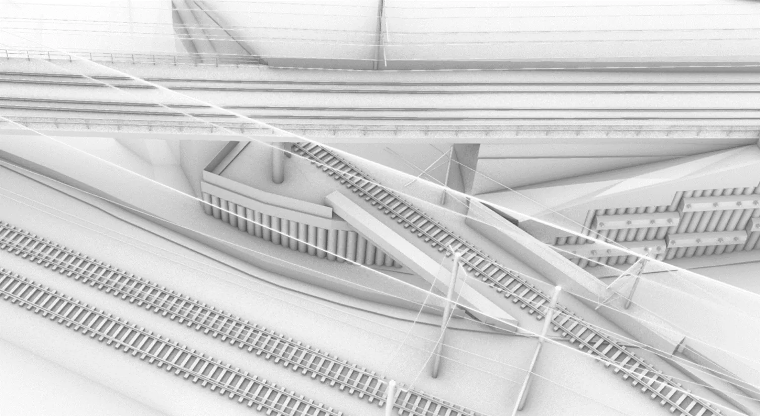
For the project planning, the existing structure is to be modelled as a 3D model and the surrounding area integrated three-dimensionally. The necessary engineering structures and objects (surfaces) in the perimeter are extracted/converted from the processed scan data into a single overall vector geometry model (‘clearance profile body’) without any attribution, further differentiation or additional information. The level of detail of the model's geometry is based on the standardised LOD 100 (Level of Detail).
The model must be created step by step. This means that the 3D model is subdivided, i.e. it contains individual 3D control geometry objects. However, these individual elements are not identical to any BIM objects.
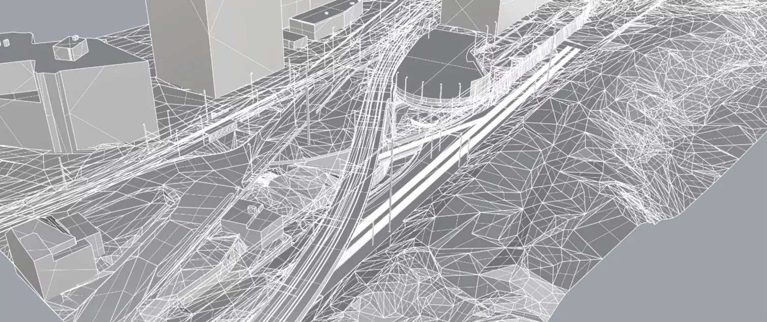
A larger area in 3D is required for a clear and comprehensible 3D visualisation of the project. The public sector now provides certain data in this regard (aerial image as an orthophoto, terrain as a point grid, buildings as geometric shape primitives, etc.). This data is obtained, processed and integrated.
Building Contractor
- Bau- und Umweltschutzdirektion Kanton Basel-Landschaft
Processing period
- 2022 - 2023
Services
- 3D laser scanning services
- BIM services
- Geomatics
- Scan2BIM